Axarquia

Axarquia

Iznate

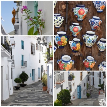
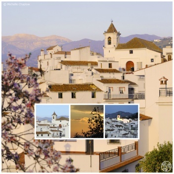
One of the towns within the comarca of Axarquia, Iznate is known as "the paradise of the Muscat grape", where grapes, almonds, avocados and olives are produced. Iznate also belongs to Ruta del Sol y del Aguacate. In this town, visitors can walk along the steep, narrow, winding streets, typical of a Moorish urban settlement. Houses have carefully whitewashed facades adorned with pots of geraniums and other flowers.
Alcaucín

Driving around La Viñuela area of the rural mountain region of La Axarquia in Malaga province offers the delights of villages such as picturesque Alcaucin. Located at the foot of the Sierra de Tejeda mountains, this remote white village offers stunning views of Lake Viñuela with the peaks in the distance.

Macharaviaya

This hill village, part of the Ruta Turistica del Sol y el Aguacate, enjoyed the height of its fortunes from the 18th century until the beginning of the 19th century. In fact, such was Macharaviaya's status that it was known as "little Madrid".

Sayalonga

Sayalonga is part of the Axarquia comarca and is situated near the natural parks of the Sierras of Tejeda, Almijara and Alhama. It is also part of the Ruta del Sol y Del Vino, a route that passes through various towns of the comarca. As in the other white hill towns of the Axarquia, you'll notice Arabic influence here - the town is famous for its associations with El Cid and its nispera fruit.

Lake Viñuela

Lake Viñuela is set in the stunning landscape of the Axarquia in Malaga province. Less than an hour’s drive from Malaga International Airport, La Viñuela is a very popular destination for those who hope to enjoy the unspoiled beauty of Andalusia. It has also been chosen by many Spanish and foreigners alike to become their home, enjoying life in its beautiful surroundings.

Moclinejo

The town of Moclinejo is set on a peak of the Piedras Blancas hills, between olive groves, almond groves and vineyards. The town is also the starting point of the Ruta de la Pasa (Raisin Route). The town has strong Muslim origins, although the meaning of its name is not clear. It may have come about when inhabitants from Moclín, a town in Granada, moved to Moclinejo.

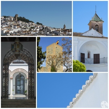
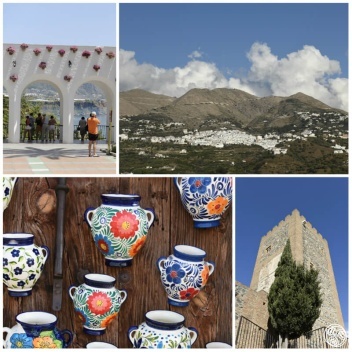
Comares

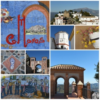
One of the highest white villages in Andalucía at 739 metres above sea level, Comares can be spied for miles around, rising high above the surrounding countryside and resembling a natural extension to the craggy rock face. First time visitors may still find the approach baffling in the fact that the village keeps disappearing from view as the windy country roads dip and curve.

Salares

Salares is part of the Ruta Mudejar in the Axarquia comarca; it is situated on the edge of the Tejeda National Park. It is one of many towns in the Axarquia which shows its Arabic heritage clearly, with steep, narrow streets; in some places steps have been added to replace dangerously uneven surfaces.

Algarrobo

On the Ruta del Sol y del Vino, Algarrobo is divided into two parts, one inland and the other coastal, located 3 km away from each other. The inland urban town is usually referred to as "Algarrobo Pueblo", and the coastal town "Algarrobo Costa". It is named after the algarrobo (carob) tree, with long, dark (when ripe) pods; carob is used as a sweetener.

Almáchar

The banks of the river that runs by Almáchar have vineyards, olive groves, wheat fields and small orchards; at farmhouses, grapes are made into raisins using traditional methods - laying them out to dry in beds. The town is one of several making up the Ruta de la Pasa (Raisin route).

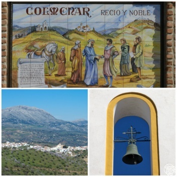
Colmenar

Colmenar is a lovely village nestled in the northern edge of the Málaga mountains (Montes de Málaga) and situated as a northern gateway to Axarquía from the area of Antequera. At 700m above sea level the village has a population of about 3,500.

Periana

To the north of the lake is the village of Periana, on the river Guaro which provides the reservoir with its water. The lush land and excellent climate provide perfect conditions for the lemon and orange groves and cultivation of other fruit trees, enhancing the beauty of the landscape even further.

Alfarnate

Alfarnate is one of the seven municipalities of La Axarquia that makes up the Ruta del Aceite y los Montes. The town is situated more than 900m above sea level and is also surrounded by the Sierras of Enmedio, Palomera and Jobo. Alfarnate is unusual among the towns in the comarca of Axarquia, in that it doesn't have many steep streets, although its houses are typically Andalucian - low and whitewashed.