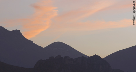
The GR7 in Jaen, takes in the Sierra Magina
GR7 Home | Cadiz | Málaga | Granada | Cordoba | Jaén | Almería
GR7 in Jaen
Approximately 220 kilometers
The GR7 is the footpath through Andalucia, which forms part of the European Route No. 4. The route is made up of itineraries, which are designed to avoid crossing or using tarmac roads or any roads used by traffic, wherever possible. The GR7 starts in Tarifa in on the furthest southwest tip of Spain, where the Mediterranean meets the Atlantic. The route stretches across the provinces of Cádiz, Málaga, Granada, Almería, Córdoba and Jaén, covering approximately 1,250 kilometers of sign-posted footpaths.
Las Pilas de Fuente Soto - Alcala la Real - Frailes - Carchelejo - Cambil - Torres - Albanchez de Úbeda - Bedmar - Jódar - Hornos de Peal - Quesada - Cazorla - Vadillo - Cotorríos - Pontones - Santiago de la Espada
The GR-7 route covers over 200 kilometers within the Province of Jaén, in its winding cross-country path from Tarifa in Andalucia, right across to Europe to Athens. In Jaén the walk takes in the most important Mountain ranges in the Province; Sierra Sur, Sierra Mágina and the Sierras (mountains) of Cazorla, Segura and Las Villas. Crossing over from the Province of Córdoba at Pilas de Fuente Soto, go on to Alcalá la Real and carry on towards Santa Ana with sight of the Mota Castle on the horizon. Go through Santa Ana and on to Frailes and then to Los Rosales, from which point you take a tarmac road before getting back on to country tracks. You cross through several mountain pass areas, including that of Los Alamillos. From there, head down to the River Valdearazo and go back up zigzagging the Piedra del Palo, from where you have a wonderful view of the Quiebrajano reservoir. The track continues its ascent until you reach flatlands and then the village of Carchelejo. You come into Carchelejo at the top end of the village and then walk down through the streets to find the N-323 road, passing by a hairpin bend known as "El Diente de la Vieja" (the old woman's tooth). Carry on along the N-323 up to the motorway and cross it under it, coming back up on the banks of the river between orchards and poplar groves to get to Cambil, which is next to the water purifying plant for the area.
From Cambil, head out through Cortijo Bonales, which takes you into the Sierra Mágina, the highest mountain range in the province. Go through Mata-Bejid and carry along a pathway towards Puerto de la Mata. This is a very beautiful stretch of the walk, covered in different types of oak trees, which are representative of the province in the area of Peña de Jaén. Crossing over the mountain pass, the route runs its way through a pine forest towards Torres, where you have the chance to cool off in the sparkling waters of Fuente Pellenda, before heading off towards Albánchez de Mágina on the well worn local paths, which go through almond and cherry groves. Then head for Fuente de la Fresneda and through the recreation field of Cuadros until you reach Bédmar, after which the route suddenly heads upwards to El Portillo on one of the steepest climbs in the GR-7, later coming down towards Jódar and crossing the Serrezuela. Out of Jódar, go towards the railway station of Jódar-Quesada, cross the Guadian Menor, looking for Hornos de Peal and then Toya. Once on this pathway, carry on through the valley until you reach Quesada. Coming out of Quesada you pass beneath a spot known as El Chorro and find the Monasterio de Monte Sión and after that La Ermita (Hermitage) de San Isicio, near Cazorla.
After Cazorla, the route carries on along one of the prettiest parts of the walk through Jaén. In amongst the pine trees is the hermitage of La Vigen de la Cabeza. The path then carries on past the Fuente del Oso (fountain of the bear) of the village of Vadillo Castril. After this you come to the village of Loma de María Angela and later - right in the heart of the Nature Reserve of Cazorla, you pass through Segura y Las Villas, Cotorrios. You then carry on by the Guadalquivir River, passing nearby the Aguasmulas River and then going up to Fuente Segura, which bring you to Pontones. From Pontones you go on to Poyotello, going downwards to the river Zumeta and then the villages of Ruices, Santiago and Espada, finally crossing over into the Province of Granada towards the small town of D. Fadrique.