 This walk starts in the village of Frigiliana
Frigiliana to Fuente del Esparto walk
Sendero Frigiliana to Fuente del Esparto
Distance: 5.5 kms
Time Required: 2 hours
Rating: Easy
This 5.5km-long linear walk is relatively easy and takes about two hours. It starts in the village of Frigiliana. Look for the Guardia Civil building; to the right-hand side of this is the beginning of the sendero (path). It goes down to the Higuerón river, which is in a steep-sided rocky ravine. The path goes past the Pozo Batán, veers off to the left and then starts to climb up the slope. This is a difficult part of the walk, because the path here is sandy which makes climbing tricky.
The path goes through some pine trees. After 20 minutes is the Cruz de Pinto crossroads, where there are great views north up the Higuerón river and surrounding hills. The path, passing through scrubland, now gets easier and there are often mountain goats here.
Then there are pine trees again and sharp, jagged rocks at the top of the ravine. After an hour, the path arrives at the Chillar river gorge, one of the most impressive in the province. Its sides are often vertical and rise to 300m. The walk through the gorge takes around 15 minutes, then there is the final climb. The path crosses a channel that takes water to the Chillar hydroelectricity power station and 30 minutes later it has climbed up to a forestry track.
Here is the Collado del Apretadero, which divides the Chillar and Cazadores gorges, and it is ten minutes on from here. Then you can either turn back or continue down to El Pinarillo campsite, 4km from the Nerja caves, from where there are buses into Nerja (to avoid walking along the busy main road).
Walking guide books by Guy Hunter Watts
Buy walking guide books by Guy Hunter Watts
"Walking in Andalucia" by Guy Hunter Watts
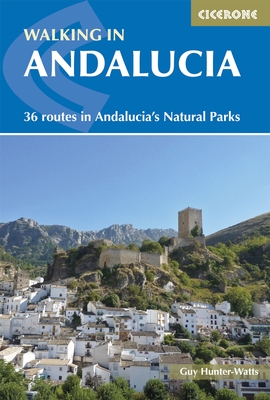 Walking in Andalucía is a 260 page full colour guide to some of the very best walks in southern Spain, taking the walker on 34 routes - all starting and most finishing in beautiful villages - in the Natural Parks of Grazalema, La Alpujarra, Cazorla, Los Alcornocales, Aracena, and La Axarquia. Many of the full and half day walks are virtually unknown even though they are a short drive from the Costa del Sol. Even though more and more people are beginning to walk Spain's southern sierras, most of the routes remain blissfully undiscovered. Guy says, 'If you decide to head for the hills with my guide you can be sure of two things: you will be walking through areas of great natural beauty and you will meet with other walkers.'
Buy a printed or eBook copy online direct from publishers Walking in Andalucia.
"The Andalucian coast to coast walk " by Guy Hunter Watts
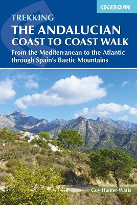 A stunning 21 day, 435 kilometre trail that links the Mediterranean with the Atlantic. The walk passes through six of Andalucia's Natural Parks and protected areas via its most beautiful mountain villages. Far more than a long walk, this on-foot odyssey can lead you to the heart of southern Spain's magnificent sierras and on a life-changing journey of discovery. One of the best things about the simple act of walking is the sense of reconnecting with Nature and the Big Wide World. We've been moving around on two feet for a very long time yet still, in the simple act of putting one foot in front of the next and moving across landscape, it seems that we reassert our identity. Day to day worries fall into insignificance, or rather true significance, when we get out into the mountains and walking is about a lot more than taking exercise.
Buy a printed or eBook copy online direct from publishers The Andalucian Coast-to-coast Walk.
"Walking the Mountains of Ronda and Grazalema" by Guy Hunter Watts
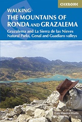 The dramatically situated town of Ronda can make a great base for a walking holiday in the mountains of Andalucía, as can any one of the picturesque 'pueblos blancos' (white villages) that nestle among the surrounding hills. This guidebook presents 32 mainly circular walks in the Ronda region, covering the town and its environs, the Natural Parks of La Sierra de Grazalema and La Sierra de las Nieves (both UNESCO biosphere reserves), and the Genal and Guadiaro Valleys. Clear route description is illustrated with mapping, and the route summary table and 'at a glance' information boxes make it easy to choose the right walk.
Buy a printed or eBook copy online direct from publishers Walking the Mountains of Ronda and Grazalema.